 The GIS Department at FIVCO ADD utilizes a vast array of GIS software applications and GPS technologies to create and maintain current as well as accurate digital geographic data and thematic maps for the FIVCO ADD region. The data and maps are used to assist in planning and decision making by state and local government, local utilities, transportation committees, as well as private industry.
 The GIS Department at FIVCO ADD utilizes a vast array of GIS software applications and GPS technologies to create and maintain current as well as accurate digital geographic data and thematic maps for the FIVCO ADD region. The data and maps are used to assist in planning and decision making by state and local government, local utilities, transportation committees, as well as private industry.
What is GIS?
A Geographic Information System (GIS) is a computer-based tool for mapping and analyzing things that exist and events that happen on earth. GIS technology integrates common database operations such as query and statistical analysis with the unique visualization and geographic analysis benefits offered by maps.
GIS is an integrated system of computer hardware, software, and trained personnel linking topographic, demographic, utility, facility, image and other resource data that is geographically referenced.
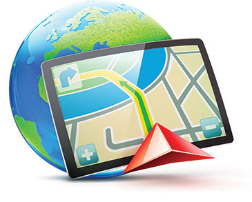
What is GPS?
Global Positioning System (GPS) is a space-based navigation system that provides location and time information in all weather conditions, anywhere on or near the Earth where there is an unobstructed line of sight to four or more GPS satellites. GPS is an essential tool for GIS because it allows for the gathering of data that location wise is highly accurate.
FIVCO GIS and GPS Mapping Services Include:
• Precision GPS Data Collection
• Map Production & Printing
• Data Housing & Maintenance
• Demographic & Spatial Analysis
• Geoprocessing
• Digital Mapping Services
Sample of Available Data:
• Water / Wastewater
• Streets & Highway Centerlines
• Zoning & Incorporated Boundaries
• Political Boundaries
• Flood Zones
• Streams, Lakes & Wetlands
• Demographics & Population
• Aerial Photography
Print Prices:
Line Map
Tabloid 11×17 — $2.00
Architectural D 24×36 — $3.00Architectural E 36×48 — $6.00
Digital Topo / Aerial
Tabloid 11×17 — $3.00
Architectural D 24×36 — $5.00
Architectural E 36×48 — $8.00
For more information contact:
Jasper Ball (Utility Coordinator), jasper@fivco.org, or
Brycen May (GIS Coordinator), brycen@fivco.org